A U-Net model for segmenting buildings from satellite imagery
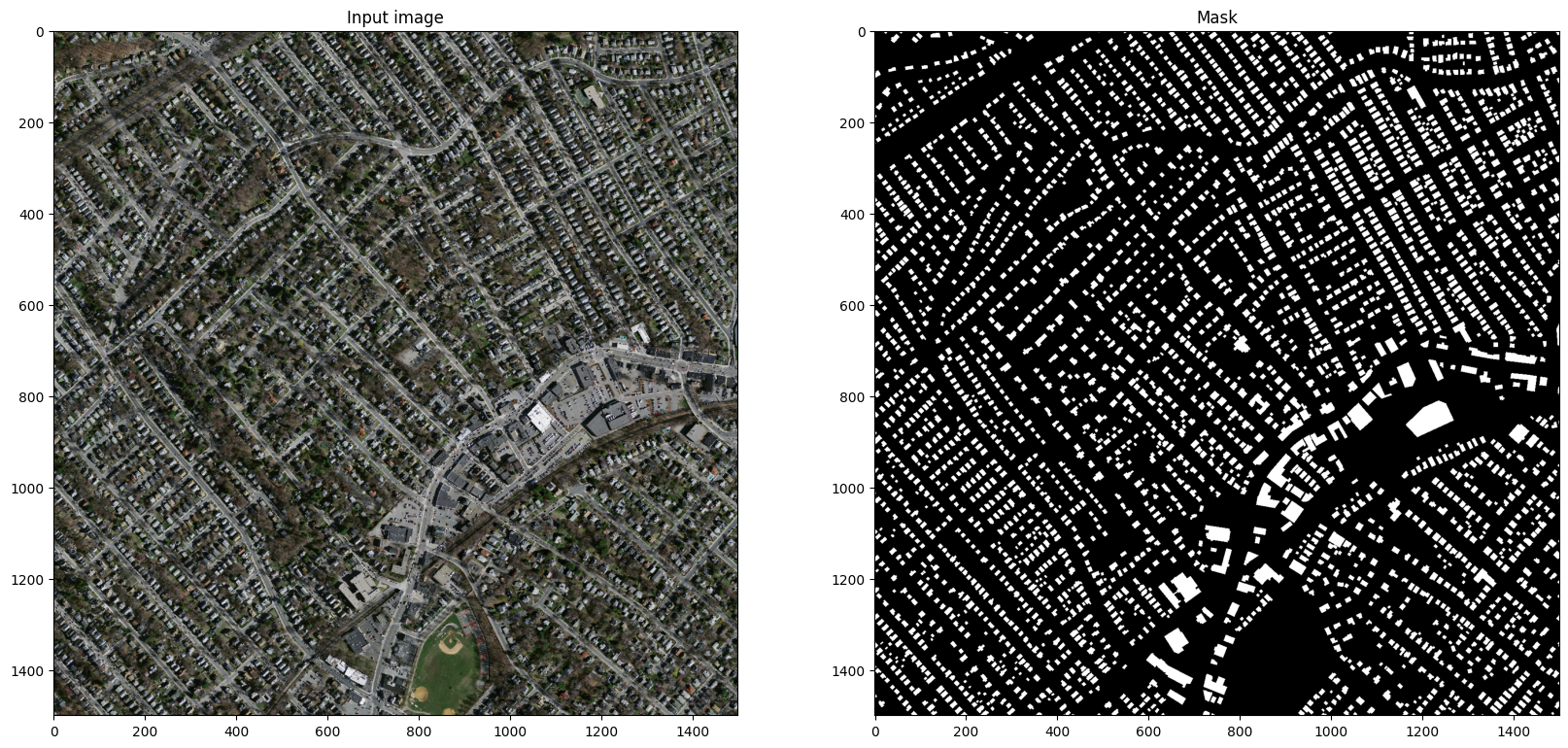
A binary segmentation mask (of the same height and width with the input image) should be created The segmentation mask should have a value of 1 at pixels where there is a building and 0 at other pixels.
The figure below showcases the input and output image expected. In the mask pixels that correspond to pixels in the input image are white and background is black.
The training and Machine-learning related code is found at the Notebook.
The data used in this project is sourced from Road and Building Detection Datasets with the following citation:
@phdthesis{MnihThesis,
    author = {Volodymyr Mnih},
    title = {Machine Learning for Aerial Image Labeling},
    school = {University of Toronto},
    year = {2013}
}
For the ease of use, relevant parts of this dataset was sourced from kaggle.com
You can try the application without installation by navigating to the following link: Building Footprint Segmentation


gh repo clone gunaykrgl/buildingSegmentation
cd buildingSegmentation
pip install -r requirements.txt
After local installation, the application can be run by the following command:
gradio run demo.py
After this command is run, there will be a localhost url be generated at the end of the outputs. Later, the application can be used by navigating to the url in a web browser.